Bali Traffic: Real Drive Times Between the Main Areas
Bali's distances are short and its drives are long. Road distances between the main areas in miles, why we print no drive times, and how to get a real one.
Editorial Written and checked for American travelers
Drive times in Bali cannot be read off the distance, and we have found no official table of them. The airport is only about 12 miles from Canggu and about 22 miles from the airport to Ubud, yet those drives can take several times what the mileage suggests. We publish distances, which are stable, and explain how to get a real time for your own journey.
Why we print distances and not times
A drive time in Bali depends on the hour, the day, the weather and whether a ceremony has closed a road, so any figure in an article is wrong for most of the people reading it. We have no official source for travel times, and we will not freeze a number. Road distance does not change, and it is what we give.
How to get a real time
The practical method is a live map on your phone, checked for the same hour and the same day of the week as the drive you are planning. Most map apps let you set a departure time. Do this before you book a dinner, a boat or a tour with a fixed start, and again the night before.
Ask someone local
Your accommodation and your driver make the same journeys every week. Our advice is to ask them how long a specific drive takes at a specific hour, and to believe the longer of their answer and the map's. A live estimate cannot see a procession that will set out an hour from now.
Short distances, long drives: Seminyak & Canggu · Ubud · Uluwatu & the Bukit · Amed · Munduk & the north. (Enable JavaScript for the interactive map.)
The distances, in miles
Road distances between Bali's main areas are short, and that is the source of the surprise. Measured on the road network, the airport is about 4 miles from Kuta, 7 from Seminyak, 12 from Canggu, 8 from Nusa Dua, 11 from Sanur and 13 from Uluwatu. A newcomer reads those figures as ten-minute drives.
From Ubud
Ubud sits inland, about 22 miles from the airport. From Ubud it is about 6 miles to Tegallalang, 14 to Sanur, 19 to Canggu, 22 to Sidemen, 27 to Kintamani, 34 to Uluwatu, 39 to Munduk and 49 to Amed. Every one of those is a short hop on an American highway and a real journey in Bali.
The long ones
The longest drives a visitor is likely to make run across the island. The airport to Amed is about 61 miles and to Lovina on the north coast about 62. Amed to Munduk, from the northeast coast to the central mountains, is about 93 miles, which is a full day's travel with stops.
What slows the roads
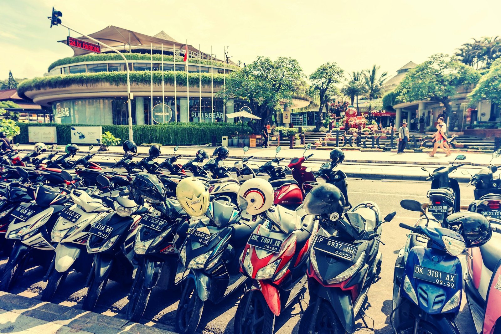
Bali's roads are slow for structural reasons, not because of occasional bad luck. The State Department notes that roads in Indonesia are shared with many motorcycles, which pass on either side. The island's main roads in the south run through continuous built-up areas, and the routes into the hills are narrow and winding.
Time of day
Traffic follows the day's rhythm, as it does anywhere. We have no official traffic data, so we name no rush hours. Our advice is to assume that the late afternoon, when beachgoers, commuters and sunset-seekers are all moving, is a poor time to cross the south, and to check a live map before relying on that or doubting it.
Ceremonies
A procession or a temple ceremony can close a road for a period, and there is no timetable a visitor can consult. This is part of life on the island and no cause for irritation. It is a reason to keep slack before anything with a fixed start.
Rain
Heavy rain slows everything. South Bali's climate record shows about 14 inches of rain in January against about 1 inch in July, so a drive in the wet months deserves more margin than the same drive in the dry ones.
What it means for a day's plan
The practical effect of Bali's traffic is that a day holds fewer stops than a map suggests. Our advice is to plan each day around one area, to group sights that lie in the same direction, and to count the drive back as part of the day. Three stops done calmly beat six done from a car window.
Day trips from the south
A base in the far south puts the central highlands a long way off: Uluwatu to Ubud is about 34 miles, and Munduk is further still. A day trip of that length is possible and tiring. Travelers who want several days in the hills usually do better to move base than to commute.
Sunset
Sunset draws people to the same west-facing spots at the same hour. If you want to be somewhere for it, our advice is to arrive well ahead and stay for dinner nearby, so that you are not on the road with everyone else when it ends.
The drive that matters most
The drive to the airport on departure day is the one with a penalty for being late. The airport is about 22 miles from Ubud and about 12 from Canggu, and both drives pass through the busiest part of the island. Check a live map for your actual departure hour the day before, and leave earlier than it says.
Why the last night's location matters
Where you sleep the night before your flight decides how long that final drive is. How drive times shape the choice of base, the order of the days and the last night of the trip is set out in Bali, in Its Own Time.
FAQ
How long does it take to drive from the airport to Ubud?
The distance is about 22 miles. The time varies widely with the hour and the day, so check a live map for when you will travel.
How far is Canggu from the airport?
About 12 miles by road.
Why is traffic so bad in Bali?
Roads are narrow, run through built-up areas, and are shared with large numbers of motorbikes. Ceremonies and rain add delays.
How many places can I visit in a day in Bali?
Our advice is three or four stops in one direction. Short distances take much longer than the mileage suggests.